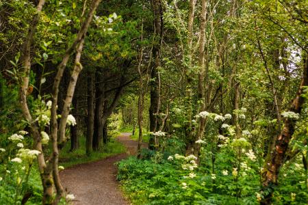
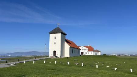
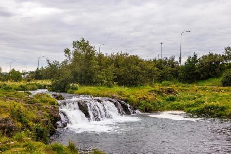
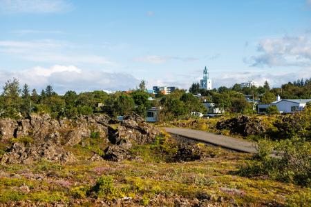
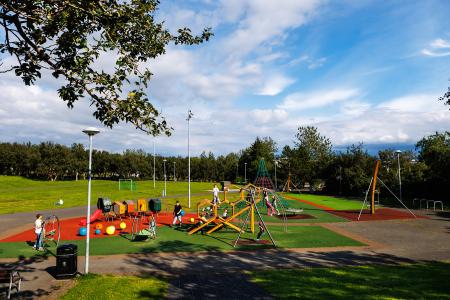
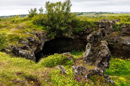
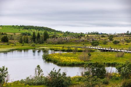
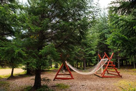
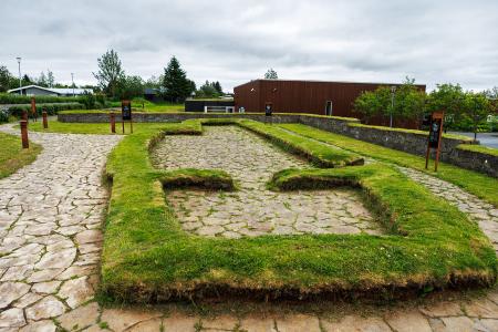
Hiking Routes in the Capital Area Map of Bike and Hiking Routes Map of Outdoor Areas Image The Heart of Hafnarfjörður Walk: 4.71km Difficulty For Everybody This scenic walk through Hafnarfjörður begins along the coast and winds through the enchanting… Hafnarfjörður Image Reynisvatn Walk: 1.49km Difficulty Level 1 A light and beautiful walking trail in a peaceful environment by Reynisvatn, east of… Reykjavík Image The Elliðaárdalur Circle Walk: 2.48km Difficulty Level 1 A perfect family walk through the beautiful Hólmi area in Elliðaárdalur, offering scenic… Reykjavík Image Around Helgafell in Hafnarfjörður Walk: 8.34km Difficulty Level 2 The hike up Helgafell in Hafnarfjörður is very popular among locals, but walking the scenic… Hafnarfjörður All bike and hiking routes Bike Routes in the Capital Area Map of Bike and Hiking Routes Map of Outdoor Areas Image The Álftanes Circle Bike: 12.47km Difficulty Level 2 A light and accessible cycling route around Álftanes, offering views of the sea, peaceful… Garðabær Image Elliðaárdalur Bike: 8.19km Difficulty Level 2 A bike tour through Elliðaárdalur with scenic river paths, surrounded by lush greenery and… Reykjavík Image The Water Circle in Heiðmörk Bike: 7.56km Difficulty Level 1 A scenic cycling route in Heiðmörk marked with blue posts, passing by lakes and educational… Reykjavík Image The Garðabær Circle Bike: 7.08km Difficulty Level 1 A scenic cycling route through the town of Garðabær. Garðabær All bike and hiking routes Outdoor Areas in the Capital Area Map of Bike and Hiking Routes Map of Outdoor Areas Image Rútstún Outdoor Area Rútstún is a well-sheltered recreational area in the heart of Kársnes, offering a playground,… Municipality Kópavogur Image Reykjalundarskógur Outdoor Area Reykjalundaskógur by Varmá in Álafosskvos features enchanting trails perfect for walking. Municipality Mosfellsbær Image Maríuhellar Outdoor Area Maríuhellar in Heiðmörk refer to three caves located in Svínahraun, near the intersection of… Municipality Garðabær Image Plútóbrekka Outdoor Area Plútóbrekkan, located below Seltjarnarneskirkja, is a popular spot for winter sledding and… Municipality Seltjarnarnes Image Urriðavatn Outdoor Area Urriðavatn and its surrounding wetlands form a beautiful landscape with diverse vegetation and… Municipality Garðabær Image Stekkjarflöt Outdoor Area Stekkjarflöt is an outdoor paradise near Álafosskvos and Varmá, offering a wide range of… Municipality Mosfellsbær Image Heiðmörk Outdoor Area Heiðmörk is the largest and one of the most popular outdoor recreational areas in the capital… Municipality Reykjavík Garðabær Image Hofsstaðir Outdoor Area Hofsstaðir in Garðabær is an important archaeological site featuring the remains of a Viking… Municipality Garðabær All Outdoor Areas